
Sport locations
Anna Meares Velodrome
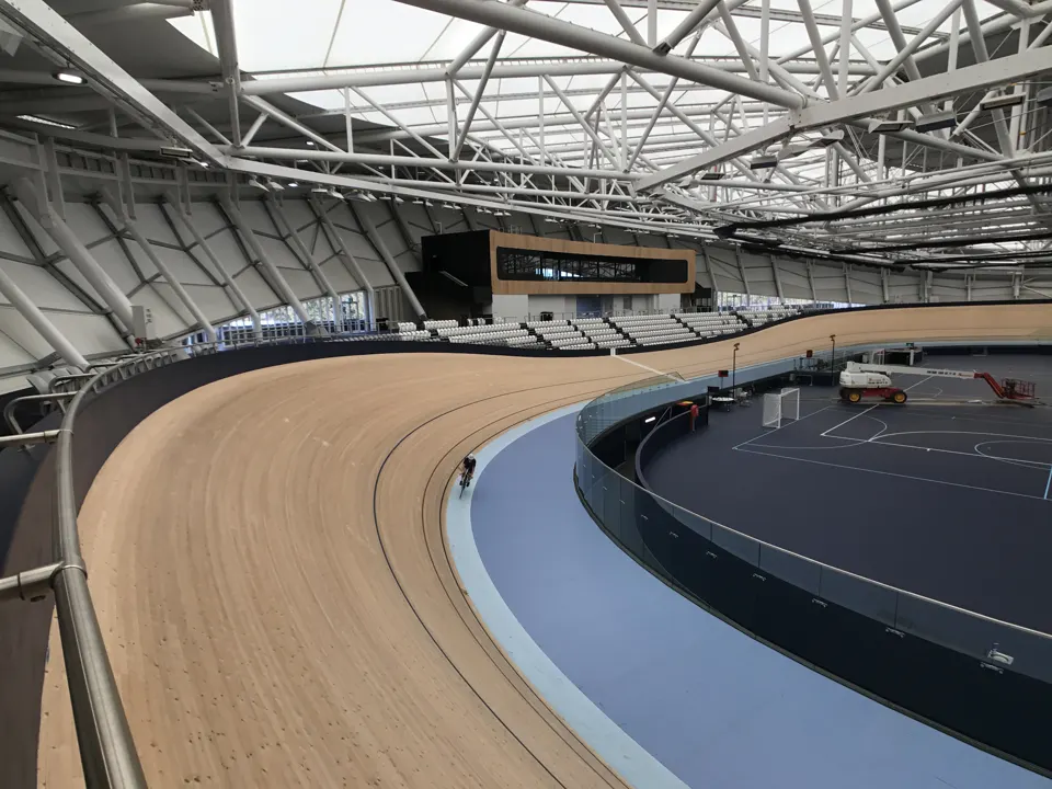
The proposal uses the timber track at the Sleeman Sports Complex.
Compare satellite views
Each frame covers the same area around Anna Meares Velodrome. Sentinel-2 records visible light at about 10 metres per pixel. Colour differences can also come from clouds, vegetation and lighting.
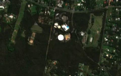
Acquisition record ↗
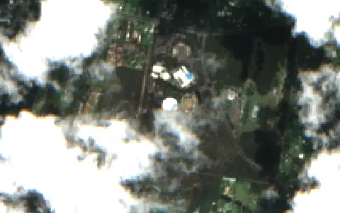
Acquisition record ↗
Geoscience Australia / Digital Earth Australia. Contains modified Copernicus Sentinel data. Cloud cover is measured across the satellite scene. QLD32 selects scenes with at most 25% cloud and usable site coverage. Image credits.
- Location
- Chandler
- Planning stage
- Proposed use
- Named sports
- Track cycling, Para track cycling
- Map precision
- Authority venue marker
See location on OpenStreetMap ↗
Profile checked