
Venue works
Redland Whitewater Centre
GIICA announced drilling and test pits on previously cleared land in Birkdale Community Precinct. The work examines ground conditions for the proposed whitewater course.
Compare satellite views
Each frame covers the same area around Redland Whitewater Centre. Sentinel-2 records visible light at about 10 metres per pixel. Colour differences can also come from clouds, vegetation and lighting.
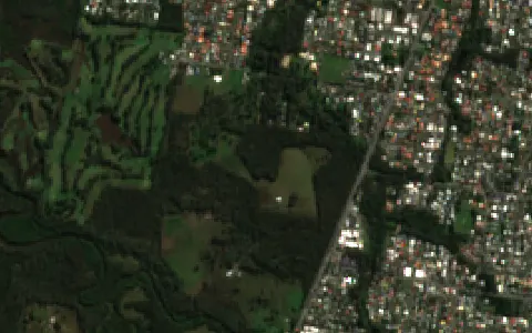
Acquisition record ↗
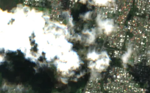
Acquisition record ↗
Geoscience Australia / Digital Earth Australia. Contains modified Copernicus Sentinel data. Cloud cover is measured across the satellite scene. QLD32 selects scenes with at most 25% cloud and usable site coverage. Image credits.
- Location
- Birkdale
- Planning stage
- Site investigations
- Source date
- Oct 2026
- Map precision
- Authority venue marker
What to watch
The ground investigation results will inform the venue design.
See location on OpenStreetMap ↗
Profile checked